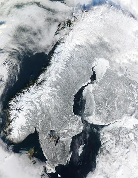
Cape of Good Hope
Rocky headland on the Cape Peninsula, key to the Cape Route.

Dietmar Rabich · CC BY-SA 4.0
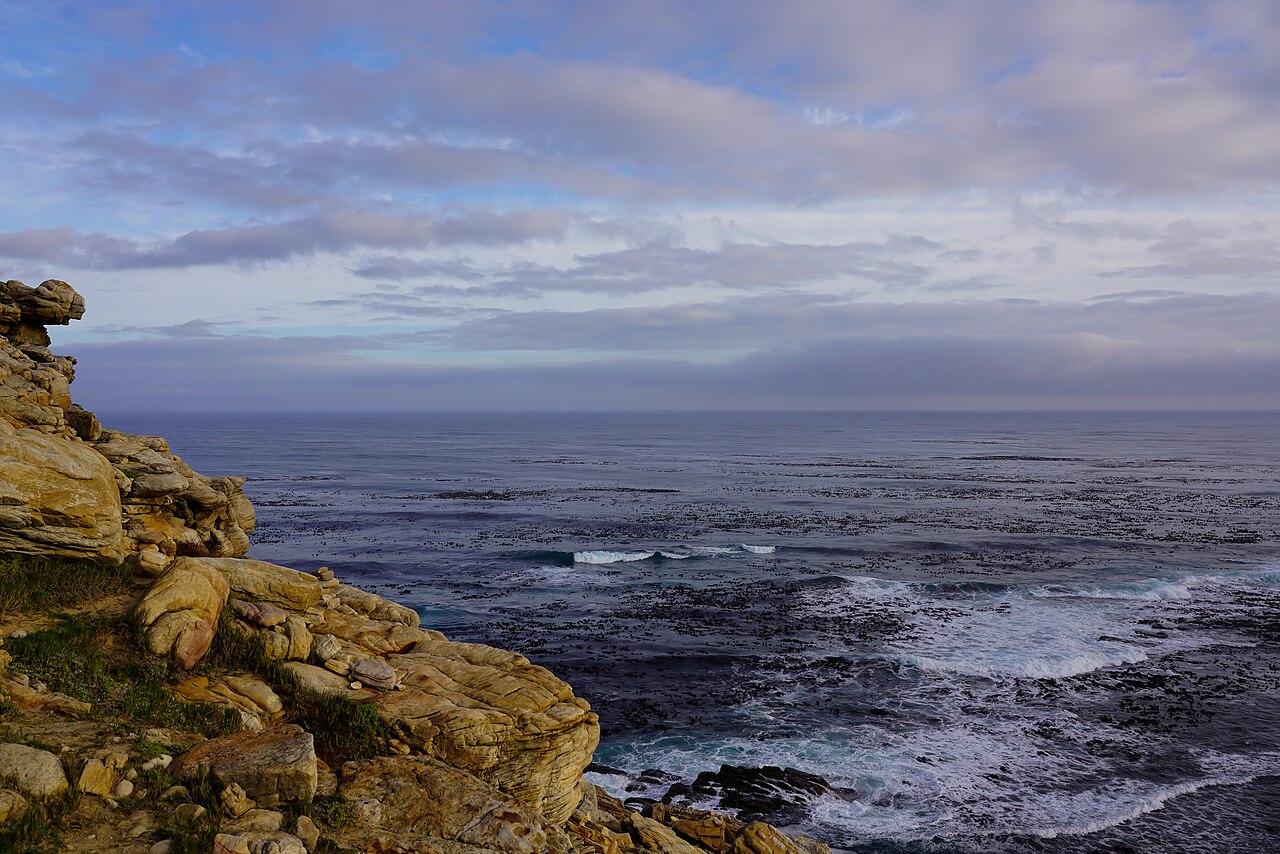
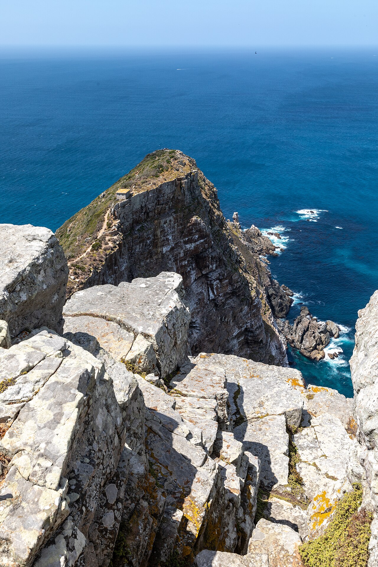
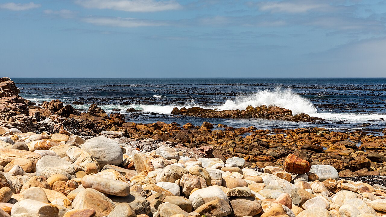
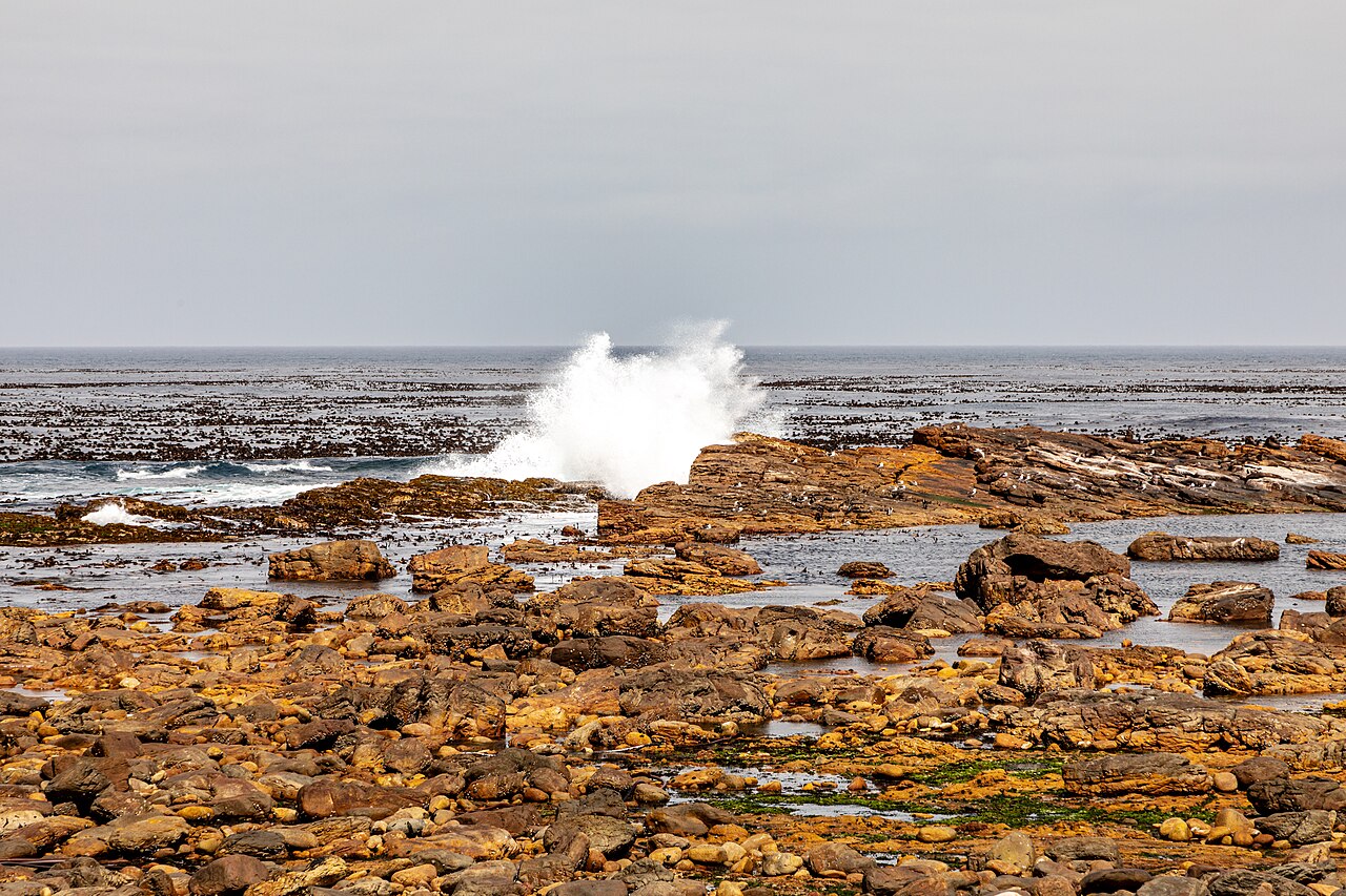
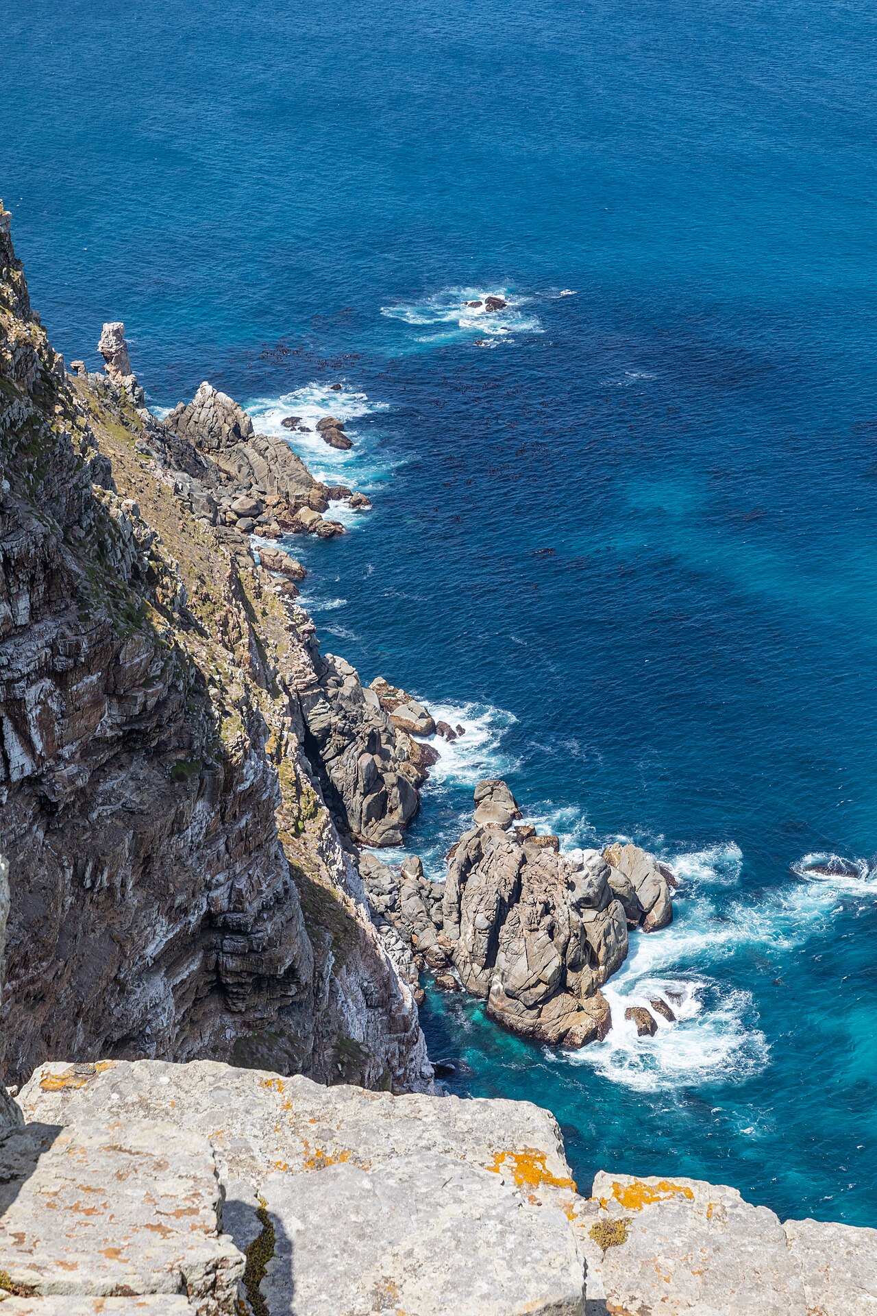
The Cape of Good Hope is a rocky headland on the Atlantic coast of the Cape Peninsula in South Africa. It has long been of special significance to sailors as one of the great capes of the South Atlantic Ocean and a waypoint on the Cape Route and the clipper route followed by clipper ships to the Far East and Australia.
- location
- Atlantic coast of the Cape Peninsula, South Africa
- also known as
- Cape of Storms (original name given by Bartolomeu Dias)
- misconception
- Often mistaken as the southern tip of Africa; actually Cape Agulhas is the southernmost point
- oceanic meeting point
- Fluctuates between Cape Agulhas and Cape Point
- part of
- Table Mountain National Park (formerly Cape Point Nature Reserve)
Lore & Background
It was later renamed by John II of Portugal as Cape of Good Hope due to the optimism engendered by opening a sea route to India and the East. The currents of the Atlantic and Indian oceans meet at a point that fluctuates between Cape Agulhas and Cape Point, about 1.2 kilometres east of the Cape of Good Hope. The cape is a section of the Table Mountain National Park, which also includes Cape Point.
Reader's Guide
The Cape of Good Hope holds enduring significance as a milestone in European exploration and global trade. This opened the Cape Route, which became vital for trade with India, the East Indies, and Australia, and is still followed by offshore yacht races. The cape's name, originally 'Cape of Storms,' was changed to reflect the hope of reaching Asia by sea. Despite common belief, it is not the southernmost point of Africa—that is Cape Agulhas—but it remains a symbolic and navigational landmark. The meeting of the warm Agulhas and cold Benguela currents near the cape creates a dynamic oceanic boundary. The area is now part of Table Mountain National Park, preserving its natural and historical heritage. The cape also gave its name to the Cape Colony and later the Cape Province, reflecting its role in colonial history.
Did You Know?
- The meeting point of the Atlantic and Indian ocean currents fluctuates between Cape Agulhas and Cape Point.
Geological Foundations & Topographic Drama
The Cape Peninsula's dramatic landscape is the product of ancient geological processes. Much of this sedimentary rock was eroded away during the Mesozoic era, but the region's geological stability through the Tertiary period allowed only slow denudation of the remaining sandstones. The result is a landscape of sandstone plateaux and ridges that drop sharply at their margins to debris slopes, punctuated by notable features such as the Fish Hoek–Noordhoek valley gap.
A Coastline of Remarkable Variety
Stretching from the Salt River mouth in Table Bay to Sandvlei at Muizenberg, the peninsula's coastline presents an extraordinary sequence of bays, beaches, and rocky promontories. The western shore alone includes Granger Bay, the four sandy beaches of Clifton separated by rocky outcrops, Camps Bay, and the narrow boulder beach of Koeëlbaai. Further south, the coast features Oudekraal, Sandy Bay, and the rocky bay of Leeugat—also called Maori Bay after the wreck of the SS Maori. Duiker Island, a low granite islet, supports a breeding colony of Cape fur seals. Hout Bay and its harbour mouth give way to Chapman's Point, a major promontory at the foot of Chapman's Peak, before reaching the sweeping sands of Noordhoek Beach and Witsands Beach. The coastal waters host a major seaport in Table Bay, while a marine protected area spans two adjacent but significantly different marine ecoregions that converge at Cape Point. This combination of urban harbours, wild rocky shores, and biodiverse marine zones makes the coastline one of the most geographically complex in the region.
Ecological Richness Under Pressure
The peninsula's Mediterranean climate, characterized by predominantly winter rainfall and mild temperatures, supports an exceptionally diverse natural vegetation for an area of its size. A notably large number of endemic plant species thrive here, yet many face endangerment due to human activity and encroachment. The rocky uplands have historically resisted development because of difficult access, poor soils, and steep slopes, and more recently have received legal protection as areas of high ecological importance. A large portion of the peninsula falls within Table Mountain National Park, offering some degree of safeguard for these vulnerable species. However, threats persist in the form of illegal land invasion and informal settlement on protected land. Meanwhile, the lower-lying coastal areas of the central and northern peninsula have been progressively developed, first for agriculture and later for urban use. This contrast between the protected mountainous interior and the developed coastal fringe creates a landscape where conservation and human settlement exist in constant tension, with the peninsula's unique biodiversity caught between preservation and the pressures of a growing metropolitan municipality.
Five Million Years of Island Cycles
For the past five million years, the Cape Peninsula has alternated between being an island and a landmass connected to the African mainland, driven by the rising and falling sea levels of Pleistocene ice ages and interglacial warming cycles. The most recent period of isolation occurred approximately 1.5 million years ago, when the land was entirely surrounded by water. Shortly thereafter, the sandy area now known as the Cape Flats emerged from the sea, permanently rejoining the peninsula to the continent. This long history of separation and connection has shaped the region's biogeography and contributed to its remarkable concentration of endemic species. Today, the peninsula measures 52 kilometers from Mouille Point in the north to Cape Point in the south, bounded by Table Bay to the north, the open Atlantic Ocean to the west, and False Bay in the south. The towns and villages along its shores and the Cape Flats, together with the largely undeveloped interior, now form part of the City of Cape Town metropolitan municipality—a sprawling urban region whose roots stretch back to a time when this land was a solitary island in the ocean.
Gallery
Frequently Asked Questions
What is the Cape of Good Hope?
It is a rocky headland situated on the Atlantic-facing coast of the Cape Peninsula in South Africa. The site sits within the Table Mountain National Park and has long served as a landmark for ocean-going sailors navigating the South Atlantic.
Is the Cape of Good Hope the southernmost point of Africa?
No—that is a widespread misconception. The true southern tip belongs to Cape Agulhas, while the Cape of Good Hope is actually a headland on the peninsula's Atlantic side. The exact meeting point of the Atlantic and Indian Oceans shifts between Cape Agulhas and Cape Point depending on tidal conditions.
Why was the Cape of Good Hope so important to sailors and trade?
It functioned as one of the great capes of the South Atlantic and a critical waypoint on the Cape Route, the sea passage linking Europe to the Far East and Australia. Clipper ships in the 19th century relied on rounding this headland to access the fastest winds for their long voyages.
Where can visitors actually see the Cape of Good Hope today?
The headland is protected within the Table Mountain National Park, which was formerly designated as the Cape Point Nature Reserve. It remains a popular destination for hikers and tourists exploring the Cape Peninsula's dramatic coastal scenery.
More in Peninsulas And Cape Landforms 1-24
Spotted an error? Know more?
This is a living reference — every entry is fact-audited, and reader corrections feed straight into our audit queue. Suggest an edit · See this site's audit record