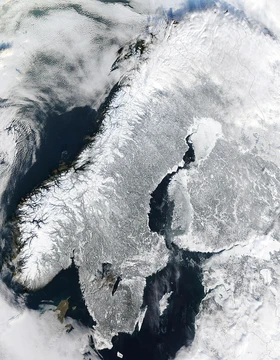
Baja California peninsula
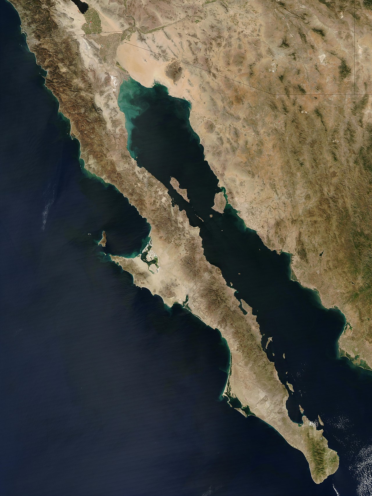
Peninsula separating Gulf of California from Pacific Ocean.

Cephas · CC BY-SA 3.0
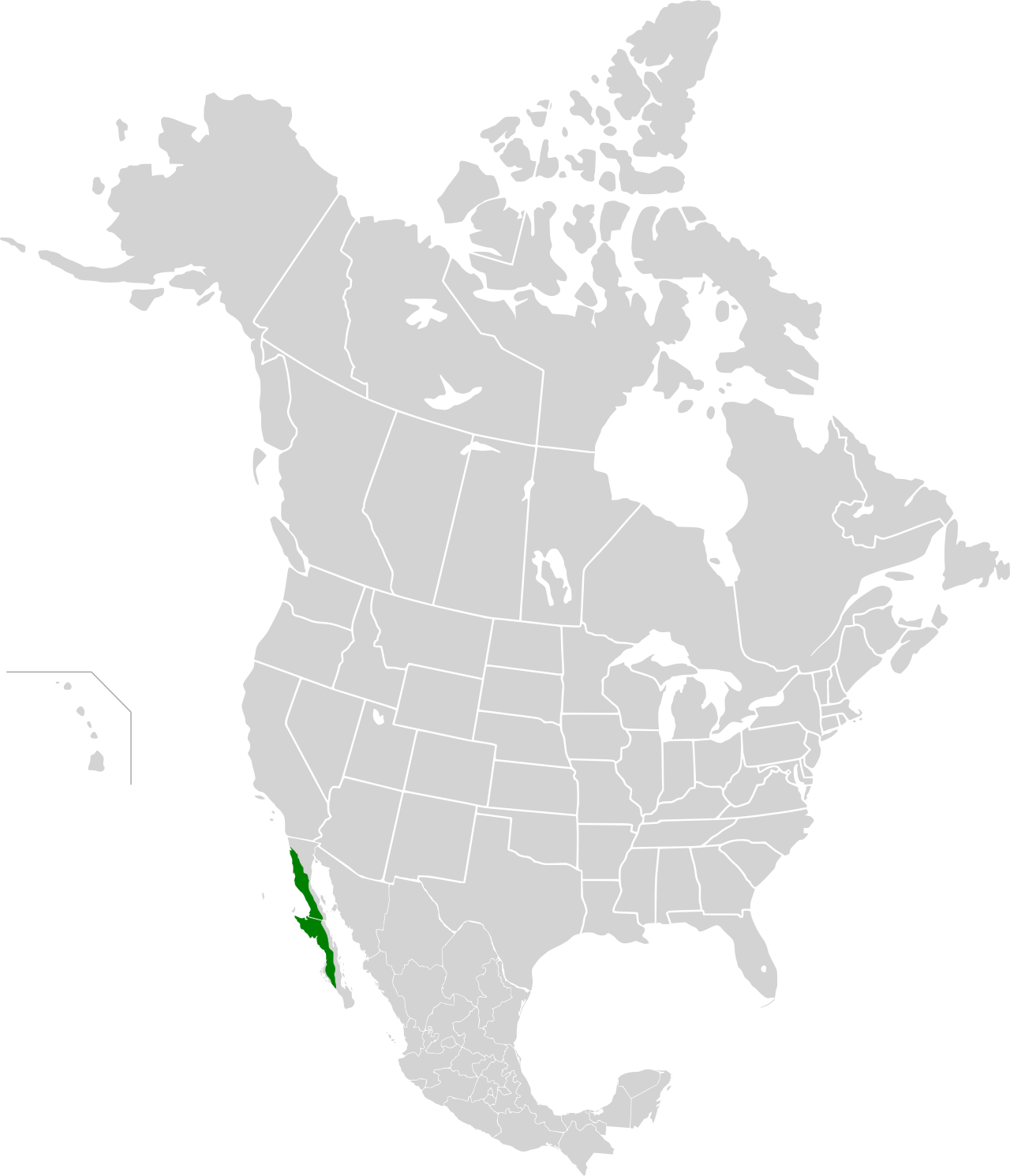
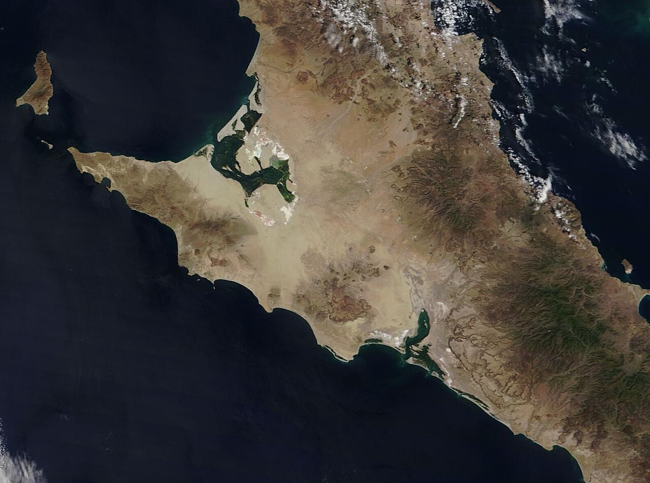
The Baja California peninsula is a long, narrow peninsula in northwestern Mexico that separates the Gulf of California from the Pacific Ocean. The peninsula was originally believed by early Spanish explorers to be an island, a misconception that persisted for centuries despite evidence to the contrary.
- Coastline
- Approximately 3,000 km
- Number of islands
- Approximately 65
- Major deserts
- San Felipe, Central Desert (Desierto Central), Vizcaíno
Lore & Background
Spanish explorers initially believed the Baja peninsula was that island.
Reader's Guide
The Baja California peninsula holds significance as a geographic and historical landmark. It was the focus of early Spanish exploration following Hernán Cortés's conquest of Mexico, driven by the search for the Strait of Anián. The peninsula's separation from mainland Mexico by the Gulf of California and the Colorado River shaped its unique ecology and human settlement. The misconception of California as an island persisted well into the 18th century, influencing cartography and exploration. The peninsula later became part of Las Californias, which included both Baja and Alta California.
Did You Know?
- The Baja California peninsula has approximately 3,000 km of coastline and about 65 islands.
Geography & Physical Scale
The peninsula's interior is dominated by arid landscapes; four principal desert regions define its terrain, including the San Felipe Desert, the Central Coast Desert, the Vizcaíno Desert, and the Magdalena Plain Desert. This combination of vast desert interiors and extensive maritime borders makes the peninsula one of the most geographically distinctive landforms in North America, serving as both a continental extension and a near-island environment shaped by two separate oceanic bodies.
The Enduring Myth of California as an Island
Long before European sailors ever sighted the Baja California coastline, the very name "California" existed as pure fiction. When Spanish mariners first encountered the peninsula, they assumed it was that legendary island and bestowed the name accordingly.
Early Expeditions & the Search for a Western Passage
The drive to find the mythical Strait of Anián, a supposed waterway linking the Atlantic and Pacific, propelled Spanish exploration along the western coast of New Spain during the 1530s and early 1540s. The following year, a follow-up mission was sent to search for the lost ships; during that voyage, pilot Fortún Ximénez led a mutiny and established a brief settlement in the Bay of La Paz before being killed. His cartographer, Domingo del Castillo, produced an accurate map of the peninsula that same year.
Indigenous Peoples & the Naming Legacy
At the time of first European contact, the northern portion of the peninsula was home to several indigenous groups whose languages belonged to the Yuman branch of the Hokan family. Other peoples inhabiting the broader Baja California region included the Paipai, Kumeyaay, Cochimí, Cucapás, Kiliwa, Guaycura, and Pericú. The peninsula's name itself traces back to a work of European fantasy rather than any indigenous designation. The Spaniards extended the label "Las Californias" to encompass both the peninsula and the territories to the north, what would eventually become parts of the U.S. states of California, Nevada, Utah, Arizona, and portions of Colorado and Wyoming. Spanish colonization of the lower peninsula, including the establishment of the first missions, unfolded gradually from the 1690s through the 1800s, layering a new administrative and religious framework over the pre-existing indigenous communities that had inhabited the deserts and coastlines for generations.
Gallery

Frequently Asked Questions
What is Baja California peninsula's role in the region?
It functions as a natural divider, keeping the Gulf of California enclosed on its eastern side while the open Pacific Ocean laps against its western shore. Its roughly 3,000 km of coastline and about 65 nearby islands make it one of the most significant coastal features on the North American Pacific.
Why is Baja California peninsula important?
By walling off the Gulf of California on one side and exposing the other to open Pacific waters, it creates two distinctly different marine environments in close proximity. Its interior also hosts major deserts such as the San Felipe, Central, and Vizcaíno, making it a key arid-land region in North America.
Did early explorers mistake Baja California peninsula for an island?
Yes, early Spanish explorers initially believed it was a separate island, and that misconception persisted for centuries even as evidence of its mainland connection grew. The narrow isthmus near Tijuana is what ultimately links the peninsula to the rest of Mexico.
More in Peninsulas And Cape Landforms 1-24
Spotted an error? Know more?
This is a living reference — every entry is fact-audited, and reader corrections feed straight into our audit queue. Suggest an edit · See this site's audit record