Cape Agulhas
A mountainous peninsula at Africa's south-western tip, home to Table Mountain and Cape Point.

via Wikipedia: Cape Peninsula · see source
The Cape Peninsula is a generally mountainous peninsula that juts out into the Atlantic Ocean at the south-western extremity of the African continent. It is 52 km long from Mouille point in the north to Cape Point in the south. At the southern end are Cape Point and the Cape of Good Hope, while the northern end is dominated by Table Mountain, overlooking Table Bay and the City Bowl of Cape Town. The peninsula has been an island on and off for the past 5 million years, with the last island period about 1.5 million years ago, after which the sandy Cape Flats emerged to join it to the mainland. The towns and villages of the peninsula and Cape Flats now form part of the City of Cape Town metropolitan municipality.
- location
- South Africa
- coordinates
- approximately 55 km (34 mi) south of the Cape of Good Hope
- named_by
- Portuguese navigators
- name_meaning
- Cape of Needles (Portuguese: Cabo das Agulhas)
- known_for
- Southernmost point of Africa; traditional boundary between Atlantic and Indian o
- climate
- Warm Mediterranean (Köppen Csb)
Lore & Background
The Cape Peninsula has a dramatic geological history: over the past five million years, it alternated between island and peninsula as sea levels rose and fell during Pleistocene ice ages and interglacial warming cycles. The last time it was an island was about 1.5 million years ago, after which the Cape Flats emerged from the sea to reconnect it to the mainland. The peninsula's rocks are very old, durable sandstone formations with low dip, deposited unconformably on an ancient underlying granite peneplain. The region was geologically stable during the Tertiary, allowing slow denudation of the sandstones. Fault lines and fractures shaped erosion and drainage, leaving steep-sided massifs like Table Mountain surrounded by flatter debris slopes. The peninsula is bounded by Table Bay to the north, the Atlantic Ocean to the west, and False Bay and the Cape Flats to the east.
Reader's Guide
The Cape Peninsula stretches 52 km from Mouille Point in the north to Cape Point in the south, covering about 470 km². Its landscape is dominated by sandstone plateaux and ridges that drop steeply to debris slopes, with a major gap at the Fish Hoek–Noordhoek valley. Table Mountain rises to 1,113 metres at the northern end, while the southern end is a lower sandstone plateau with sand dunes. The climate is Mediterranean, with winter rainfall and mild temperatures. The natural vegetation is exceptionally diverse, with an unusually large number of endemic plant species for an area this size, many endangered by human activity. Most of the peninsula is protected within Table Mountain National Park. The coastal waters include a major seaport in Table Bay and a marine protected area where two different marine ecoregions meet at Cape Point. The lower coastal lands of the central and northern peninsula have been developed from agricultural to urban areas, now part of the City of Cape Town. The rocky uplands have historically avoided development due to difficult access, poor soils, and steep slopes, and are legally protected for ecological importance, though threatened by illegal land invasion and informal settlement.
Did You Know?
- The Cape Peninsula has been an island on and off for the past 5 million years, with the last island period about 1.5 million years ago.
- Table Mountain, at the northern end of the peninsula, reaches a maximum altitude of 1,113 metres.
- The peninsula is 52 km long from Mouille Point in the north to Cape Point in the south, covering about 470 km².
- The Cape Flats emerged from the sea to reconnect the peninsula to the mainland after its last isolation roughly 1.5 million years ago.
- Two different marine ecoregions meet at Cape Point, and the area includes a marine protected zone.
Geological Origins and the Island Cycles
The Cape Peninsula's story stretches back millions of years. Over the past five million years, the landmass has alternated between being connected to the African mainland and existing as a standalone island, driven by the rise and fall of sea levels during Pleistocene ice ages and interglacial warming periods. The most recent isolation occurred roughly 1.5 million years ago, after which the sandy expanse now called the Cape Flats emerged from the sea to rejoin the peninsula to the continent. Beneath the surface, the landscape is built on very old, durable sandstone formations of low dip, resting unconformably atop an ancient granite peneplain. Much of this sedimentary rock was eroded away during the Mesozoic era, while the Tertiary period brought geological stability that allowed slow denudation of the remaining sandstones. Fault lines and fractures have shaped drainage patterns and erosion rates, leaving behind steep-sided massifs like Table Mountain ringed by flatter slopes of eroded debris.
Topography and Defining Landmarks
Stretching 52 kilometres from Mouille Point in the north to Cape Point in the south, the Cape Peninsula covers approximately 470 square kilometres and displays a remarkable range of topographical variety uncommon in comparable areas of southern Africa. The landscape is dominated by sandstone plateaux and ridges that drop sharply at their edges onto surrounding debris slopes, with a notable break at the Fish Hoek–Noordhoek valley. At the northern end, Table Mountain rises to a maximum altitude of 1,113 metres, while the southern end features a lower sandstone plateau interspersed with sand dunes. Two internationally recognised landmarks anchor opposite ends of the Peninsula Mountain Chain. The terrain includes diverse low-nutrient soils, large rocky outcrops, scree slopes, and a predominantly rocky coastline punctuated by embayed beaches. Key passes such as Kloof Nek, Constantia Nek, and the Ou Kaapse Weg cut through the mountain chain, while gorges like Disa, Platteklip, and Skeleton add dramatic depth to the overall landscape.
Ecology and Marine Environments
The peninsula enjoys a Mediterranean climate characterised by predominantly winter rainfall and mild temperatures, conditions that support exceptionally diverse natural vegetation. For an area of this size, the number of endemic plant species is unusually large, though many face endangerment from human activity and encroachment. A significant portion of the peninsula falls within Table Mountain National Park, offering partial protection to these threatened species. The rocky uplands have historically resisted development due to difficult access, poor soils, and steep gradients, and are now legally protected for their high ecological importance. Along the coast, the waters encompass a major seaport in Table Bay and a marine protected area spanning two adjacent but significantly different marine ecoregions that converge at Cape Point. Despite these protections, the uplands remain vulnerable to illegal land invasion and informal settlement, posing ongoing threats to the fragile ecosystems they shelter.
Human Settlement and Land Transformation
The lower coastal lands of the central and northern peninsula have undergone a long transformation from agricultural use to dense urban development, now forming part of the City of Cape Town metropolitan municipality alongside the Cape Flats. The Cape Flats themselves are a relatively recent geological addition, having emerged from the sea to reconnect the peninsula to the mainland after its last isolation roughly 1.5 million years ago. The towns and villages scattered across the peninsula and flats, together with the undeveloped interior, collectively fall under Cape Town's municipal jurisdiction. The peninsula is bounded by Table Bay to the north, the open Atlantic Ocean to the west, and False Bay in the south with the Cape Flats to the east. While the rocky uplands have largely avoided the urbanisation that reshaped the coastal lowlands, they now face a different pressure: illegal land invasion and informal settlement threaten the legally protected ecological zones. This tension between urban growth and conservation defines much of the peninsula's contemporary landscape management.
Gallery
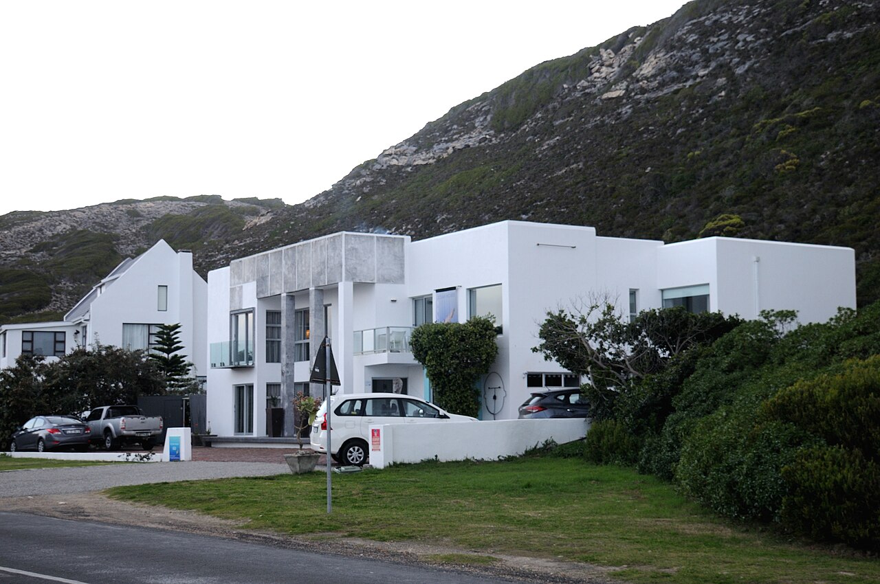
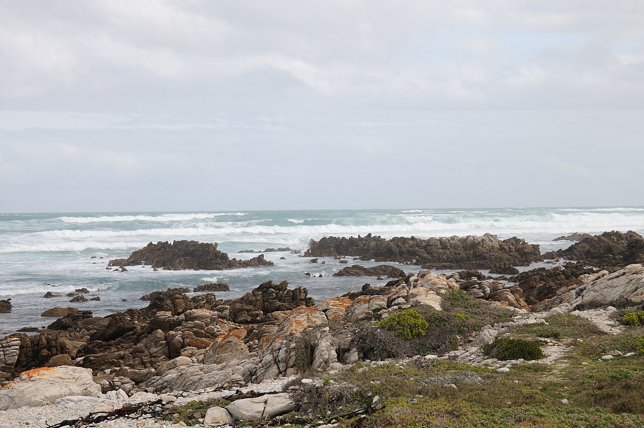
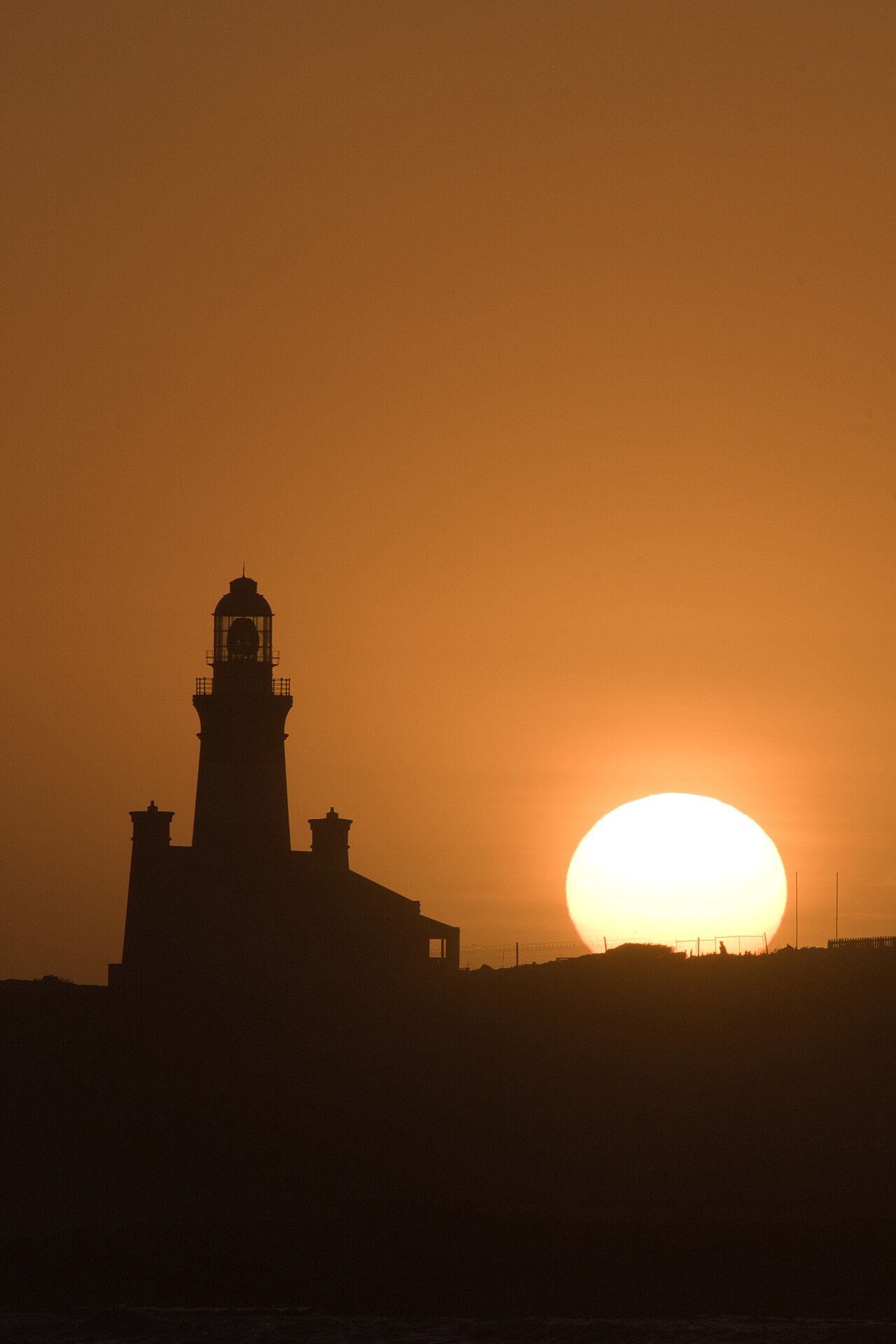
Frequently Asked Questions
What is Cape Agulhas?
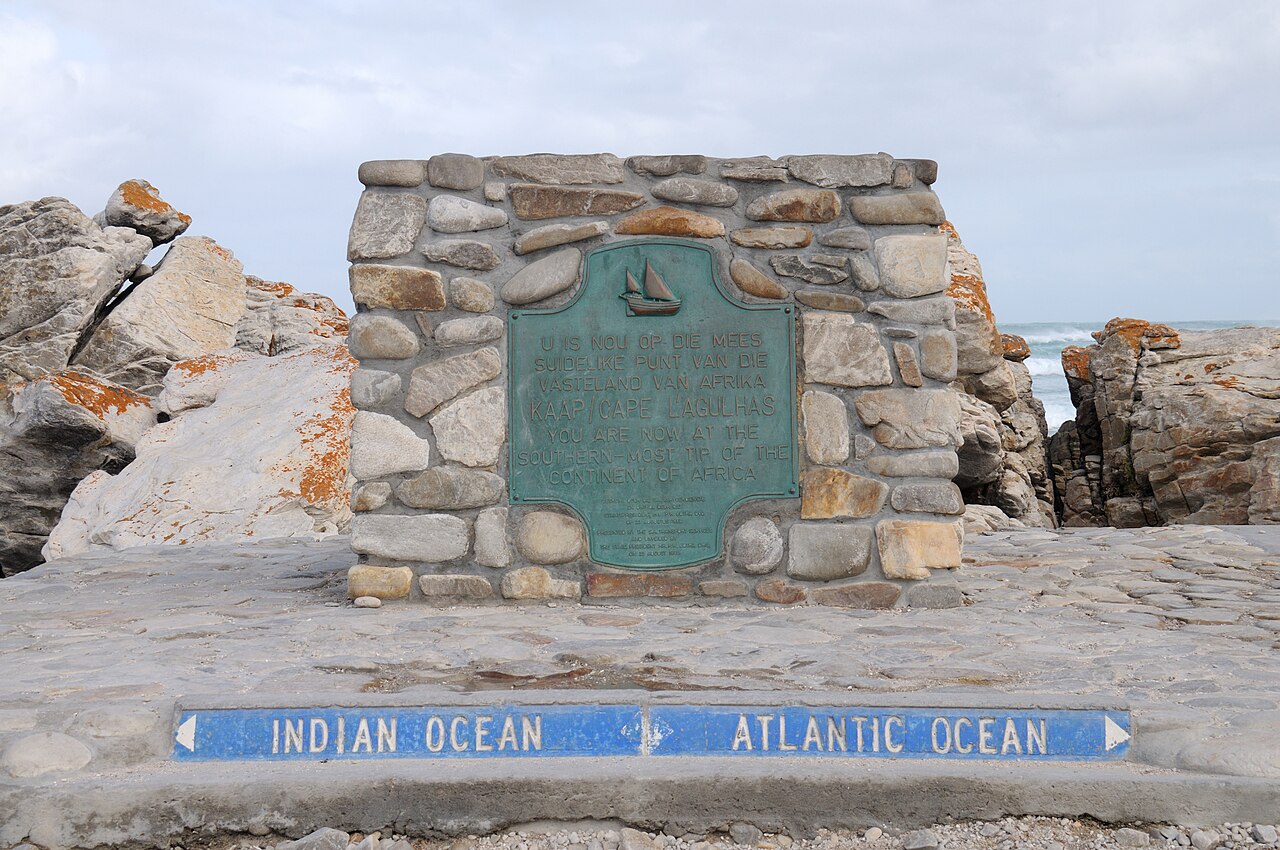
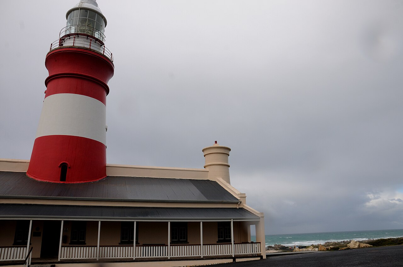
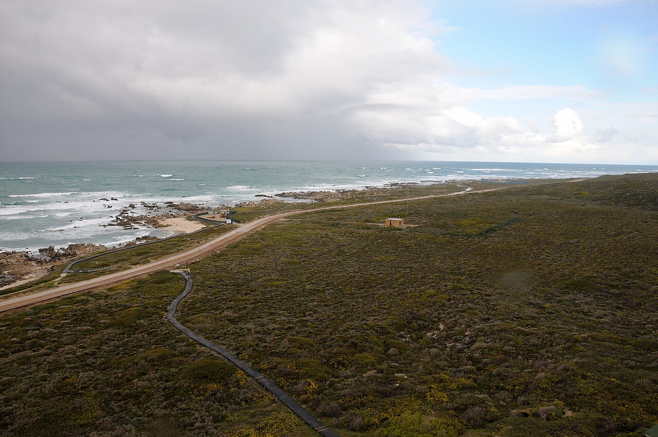
Cape Agulhas is a rocky headland in South Africa's Western Cape province that marks the geographic southern tip of the African continent. It also serves as the traditional starting point for the dividing line between the Atlantic and Indian Oceans.
What does the name 'Cape Agulhas' mean?
The name was given by Portuguese navigators and translates to 'Cape of Needles' (Cabo das Agulhas). The term most likely referred to the sharp, needle-like rocks lining the exposed headland.
Where exactly is Cape Agulhas located?
It sits roughly 55 kilometers (about 34 miles) south of the Cape of Good Hope in the Western Cape, South Africa. The area experiences a warm Mediterranean climate, classified as Csb under the Köppen system.
Why is Cape Agulhas significant in oceanography?
The International Hydrographic Organization designates this headland as the starting point of the traditional boundary separating the Atlantic and Indian Oceans. It is also widely recognized as the southernmost point of the African continent.
Why was Cape Agulhas a dangerous spot for sailors?
Its exposed rocky position and the convergence of major ocean currents made passage around the headland notoriously treacherous. For centuries it was a well-known shipping hazard for vessels rounding the southern tip of Africa.
More in Peninsulas And Cape Landforms 1-24
Related in Peninsulas And Cape Landforms
Links follow this subject's own source article.
Spotted an error? Know more?
This is a living reference — every entry is fact-audited, and reader corrections feed straight into our audit queue. Suggest an edit · See this site's audit record