Anatolia
Peninsula in West Asia, historic cradle of civilizations.

Anatolianist · CC BY-SA 4.0
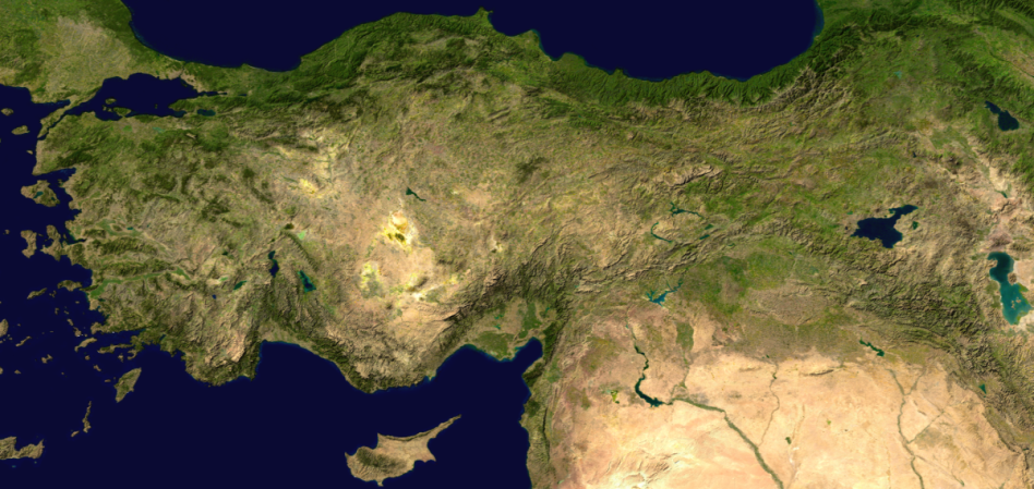
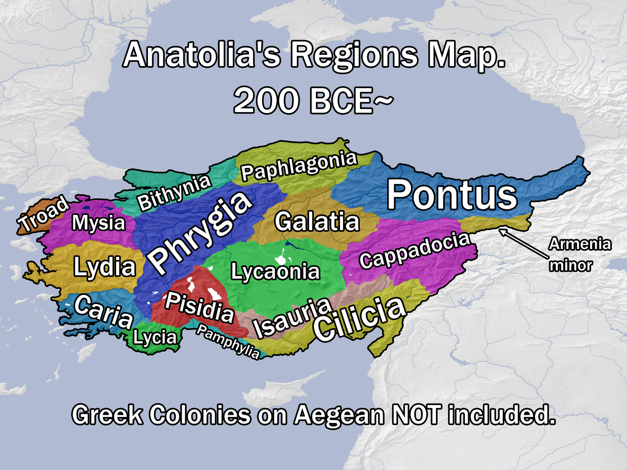
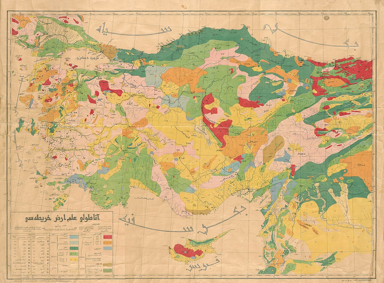
Anatolia, also known as Asia Minor, is a peninsula in West Asia that constitutes the majority of the land area of modern Turkey. It is historically significant as an early center for the development of farming during the Neolithic period and as a crossroads of numerous ancient peoples and languages, including the Hattians, Hittites, Luwians, Lydians, Phrygians, and Greeks.
Lore & Background
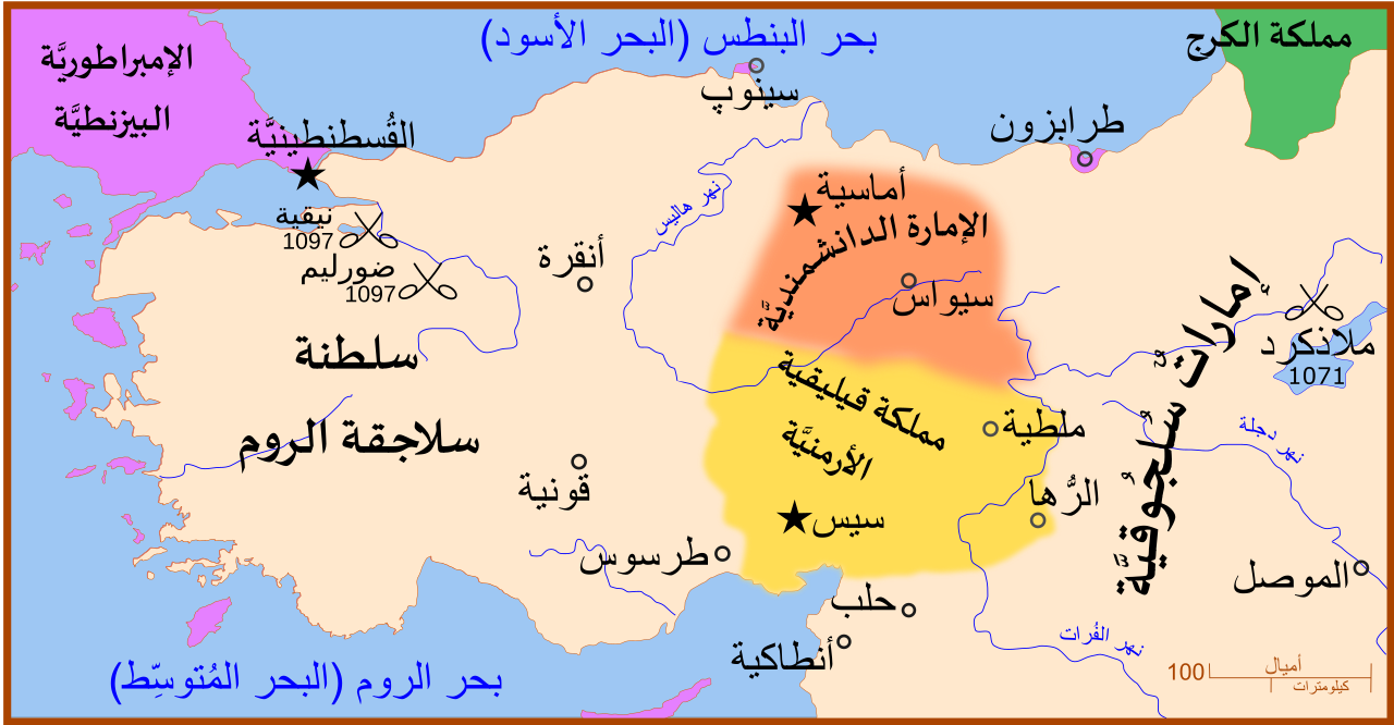
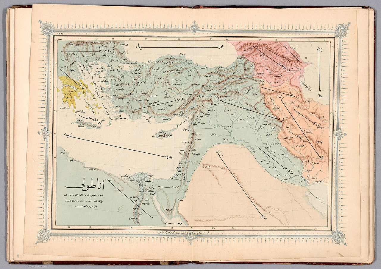
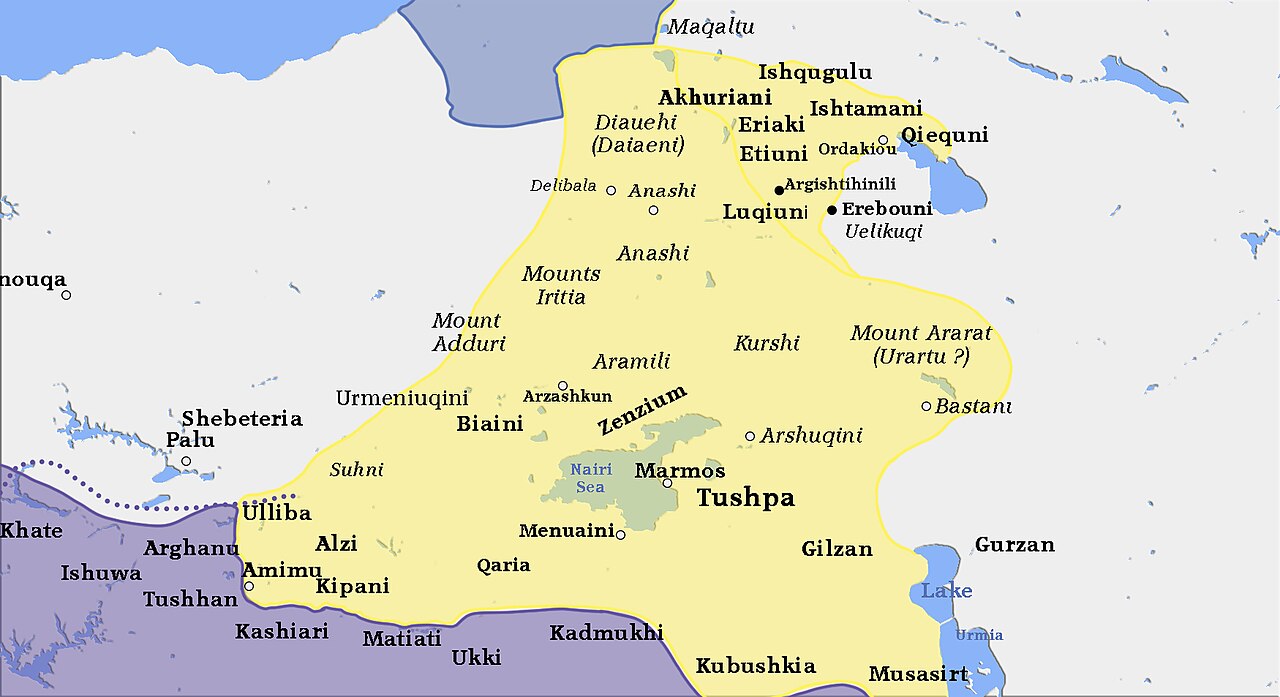
The term 'Eastern Anatolia' was used by the Ottoman Empire and later by the Republic of Turkey as an administrative designation for a region that overlaps with, but is not identical to, the historical region of Western Armenia. A variety of non-Turkic languages continue to be spoken by ethnic minorities in Anatolia today, including Arabic, Kurdish, Neo-Aramaic, Armenian, North Caucasian languages, Laz, Georgian, and Greek.
Reader's Guide
Anatolia's significance lies in its role as a bridge between Asia and Europe, both geographically and culturally. It was an early center for Neolithic farming and a source of the farmer migration that shaped Europe's population. The peninsula hosted a succession of ancient civilizations—Hattians, Hittites, Luwians, Lydians, Phrygians, and Greek colonies—whose languages and cultures were later largely replaced by Greek during the Hellenistic and Roman periods. The name 'Anatolia' itself derives from Greek meaning 'the East,' and its modern Turkish form, Anadolu, comes directly from that Greek name. The eastern limits of Anatolia remain disputed, with some definitions extending to the entirety of Asiatic Turkey, while others follow a traditional line from the Gulf of Alexandretta to the Black Sea. The region's complex history of linguistic and ethnic change, from Hattian and Hittite to Greek to Turkish, makes it a key area for understanding the dynamics of cultural and demographic transformation in West Asia.
Did You Know?
- The name 'Anatolia' derives from the Greek word 'Anatolḗ,' meaning 'the East,' referring to the direction of the sunrise.
- During the Neolithic period, Anatolia was an early center for farming, and around 9,000 years ago, a major migration of Anatolian farmers into Europe occurred.
Defining the Headland: What a Cape Is
A cape, also called a headland, is fundamentally a stretch of land that projects outward into a body of water. In Turkish, this geographic feature carries the name "burun," a word that has become embedded in the naming of countless coastal points across the country. Unlike a bay, which curves inward, a cape thrusts outward, creating a sharp boundary between two stretches of shoreline. This simple geometric distinction — land meeting sea at a protruding angle — is what separates a cape from other coastal formations. The concept is universal in geography, yet each culture gives it its own linguistic identity. For Turkey, the term "burun" appears so frequently in place names that it has become almost a functional suffix, tacked onto local names to designate a particular point of land jutting into the surrounding waters. Understanding this basic definition is essential before exploring the dozens of such features that dot Turkey's extensive coastline.
A Nation Framed by Four Seas
Turkey occupies a singular position on the world map: it is a country built around two major peninsulas, Anatolia and Thrace, and is encircled by four distinct seas. Moving counter-clockwise from the northernmost point, these waters are the Black Sea, the Sea of Marmara, the Aegean Sea, and the Mediterranean Sea. This four-sea configuration means that virtually every direction along Turkey's coast opens onto a different body of water, each with its own character and history. The sheer number of capes scattered along these shores is a direct consequence of this geography. Two large peninsulas create an enormous perimeter of coastline, and that perimeter is riddled with protruding points of land. Wherever a peninsula meets the sea at an angle, a headland is born. The result is a country where capes are not rare curiosities but a common and defining feature of the landscape, appearing in profusion along all four maritime borders.
The Burun Suffix: Naming the Coast
In Turkish coastal nomenclature, the word "burun" functions much like a grammatical suffix. When a local name is paired with this term, the result is a place name that explicitly identifies the feature as a cape — a point of land extending into the sea. The convention is flexible: some of these headlands are referred to simply by their local name, while others carry the "burun" designation to make their geographic character unmistakable. This dual naming practice means that a single coastal point might appear in different sources under slightly different labels, depending on whether the author chooses to include the descriptive suffix or rely on the local name alone. The practice reflects a broader pattern in Turkish geography where descriptive terms are appended to proper names to clarify the type of landform involved. Whether one encounters "Burun" as a standalone word or as a trailing element in a longer name, the underlying meaning remains constant: this is a stretch of land reaching out into the surrounding sea, marking a point on Turkey's vast and varied coastline.
Capes Among Bays and Peninsulas
Capes do not exist in isolation on Turkey's coast. They are part of a larger family of geographic features that together define the country's maritime character. Bays, which curve inward and create sheltered pockets of water, are the natural counterpart to the outward thrust of a headland. Peninsulas — of which Turkey has two major ones, Anatolia and Thrace — provide the broad landmasses from which capes emerge. The interplay between these three types of features shapes the entire coastline: a peninsula extends into the sea, its edges fork into capes, and the spaces between those capes form bays. This layered geography is why references to Turkey's capes almost always appear alongside discussions of its bays and its peninsulas. Together, these elements form an interconnected system of coastal landforms that make Turkey's relationship with the surrounding waters uniquely complex. Any comprehensive study of the country's geography must therefore treat capes not as standalone curiosities but as integral components of a broader coastal architecture spanning all four seas.
Gallery
Frequently Asked Questions
Who is Anatolia?
Anatolia, often called Asia Minor, is the large West Asian peninsula that makes up the bulk of modern Turkey's territory. In the 1-24 entry it's the main character: a vast stretch of land reaching toward the Mediterranean and Black Sea regions.
What are Anatolia's powers or role?
Its signature ability is being a cultural crossroads, having hosted Hattians, Hittites, Luwians, Phrygians, Lydians, and Greek communities all within its borders over the centuries. It also served as one of the earliest cradles of agriculture during the Neolithic era.
How does Anatolia's story end?
It doesn't really conclude—Anatolia is still a living landform anchoring Turkey's geography today. In fan-encyclopedia terms it's a continuing series rather than a finished arc.
Why is Anatolia important in the landform canon?
It ranks among the most historically layered peninsulas on Earth, having witnessed the birth of farming, the rise and fall of empires, and the mingling of dozens of language families. Its sheer size and central position between Europe and Asia make it a keystone entry in any peninsula collection.
More in Peninsulas And Cape Landforms 1-24
Spotted an error? Know more?
This is a living reference — every entry is fact-audited, and reader corrections feed straight into our audit queue. Suggest an edit · See this site's audit record